Results for “great-lakes”
-
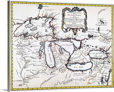
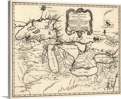
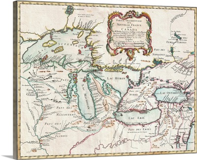
Great Lakes Map, 1755
-
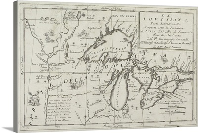
Map of the Great Lakes, North America
-
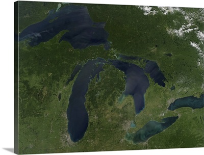
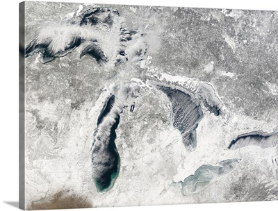
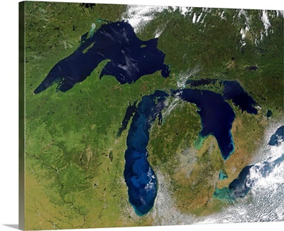
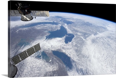
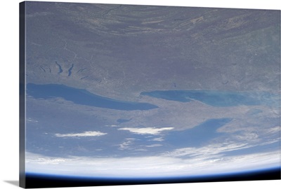
Satellite view of the Great Lakes
-
Antique Map of the Great Lakes and the Midwest US, 1755
-
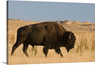
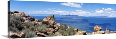
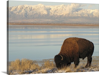
Utah, Great Salt Lake, American Bison
-
1755 Map Of The Great Lakes Region
-
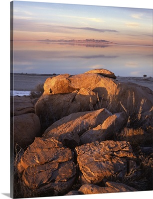
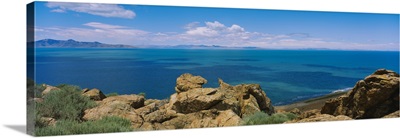
Utah, Great Salt Lake, Boulders on Stansbury Island
-
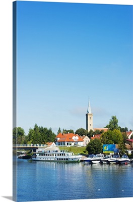
Poland, Masuria, Great Masurian Lakes, Mikolajki, Lake Mikolajskie, town church
-
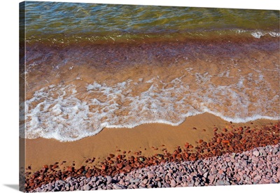
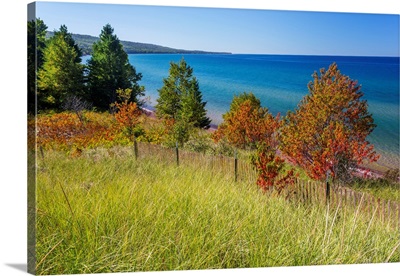
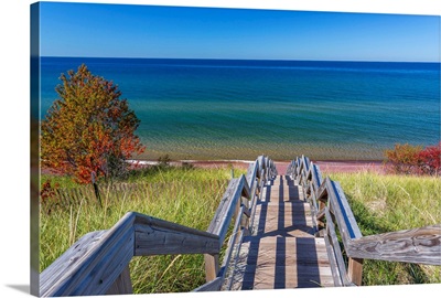
Michigan, Keweenaw Peninsula, Great Sand Bay, Lake Supeior and beach
-
Great Salt Lake UT
-
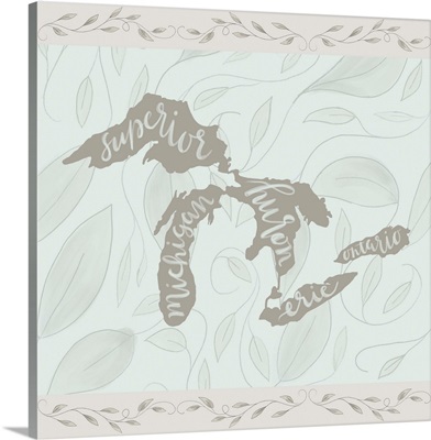
The Great Lakes
-
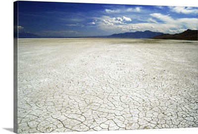
Great Salt Lake salt flats at Antelope Island, Salt Lake City, Utah
-
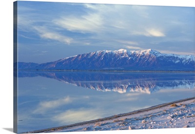
Great Salt Lake and Northern Wasatch Mountains, Salt Lake City, Utah
-
Utah, Antelope Island State Park, Wasatch range and Great Salt Lake in winter
-
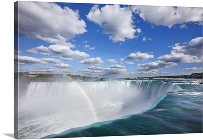
Waterfall Niagara Falls With Rainbow, Canada, Ontario, Great Lakes, Lake Ontario
-
Saltair Pavilion, Great Salt Lake, Utah

-
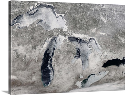
Satellite view of ice on the Great Lakes, United States
-
Bison grazing in winter on Antelope Island in Great Salt Lake.
-
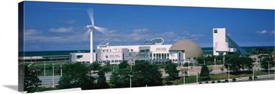
Museum at the waterfront, Great Lakes Science Center, Cleveland, Ohio
-
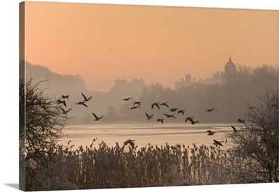
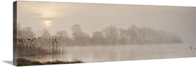
A misty sunrise over the Great Lake on the Castle Howard Estate, England
-
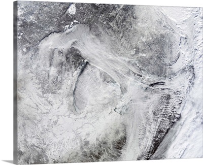
Satellite view of fog forming over the Great Lakes
-
Museum in a city, Great Lakes Science Center, Cleveland, Ohio

-
Sunrise at The Great Lake, Castle Howard, North Yorkshire, Yorkshire, England
-
Facade of a museum, Great Lakes Science Center, Cleveland, Ohio

-
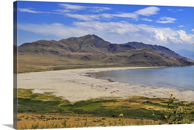
White Rock Bay, Antelope Island State Park, Great Salt Lake, Utah
-
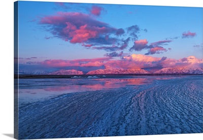
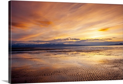
Sunset over Great Salt Lake looking west toward Lakeside Mountains and Stansbury Utah
-
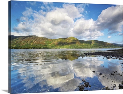
UK, England, Great Britain, Lake District, Cumbria, Ambleside, Lake Windermere
-
UK, England, Great Britain, Lake District, Cumbria, Rydal Water
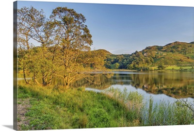
-
UK, England, Great Britain, Lake District, Cumbria, Rydal Water, The lake at sunset

-
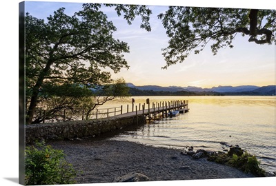
UK, England, Great Britain, Lake District, Cumbria, Keswick, View across Derwent Water
-
Michigan, Keweenaw Peninsula, Great Sand Bay, view of Lake Superior
-
Great Lakes States
-
Cruise the Great Lakes Canadian Pacific

-
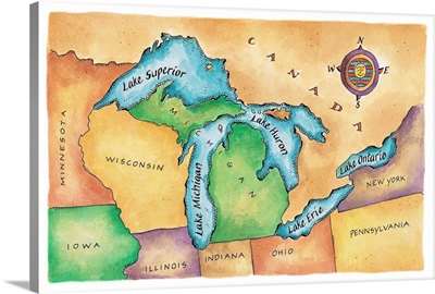
Map of the Great Lakes
-
The Great Lakes
-
Couple, Cruise the Great Lakes Canadian Pacific

-
Huron, Erie and Ontario - Great Lakes in Spring flow
-
Great Lakes
-
Sunrise glints across the Great Lakes. Heartland watershed
-
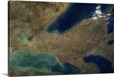
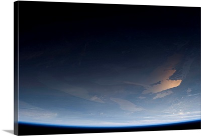
From Ontario to Superior, the Great Lakes in mid-March, as seen from Earth orbit
-
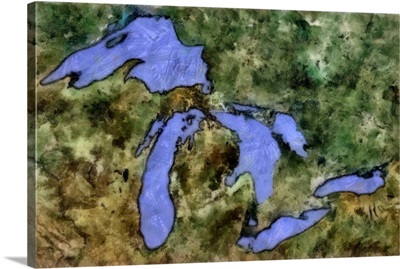
This is how I will always see the Great Lakes
-
Flock of Great white pelicans, Lake Nakuru, Kenya (Pelecanus onocrotalus)

-
WAVE cheerleaders at the Great Lakes Naval Training Station during World War 2

-
Michigan, Keweenaw Peninsula, Great Sand Bay, trail to beach and Lake Superior
-
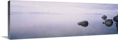
Rock formations in a lake, Great Salt Lake, Utah
-
Clouds over a lake, Great Salt Lake, Utah
-
Pillar landform, Yeo Lake nature reserve, Great Victorian Desert, Washington State
-
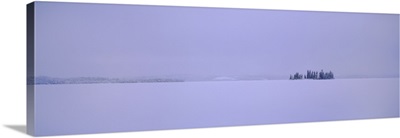
Canada, Northwest Territories, Great Slave Lake, Horizon over the frozen lake