More terms and conditions
Keep Shopping
No filters are applied.
Clear Items
Are you sure you would like to clear your recently viewed items?
Cancel Clear
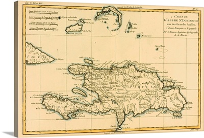
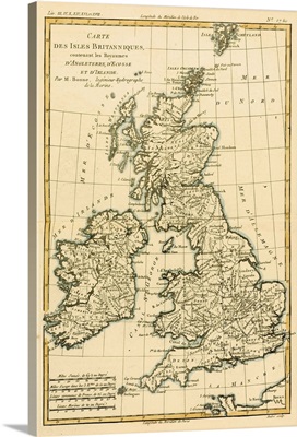
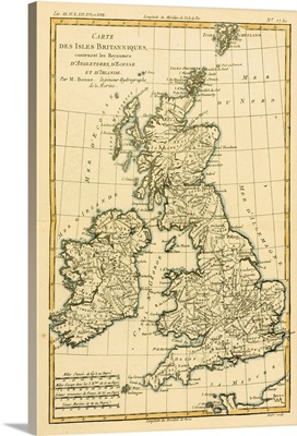
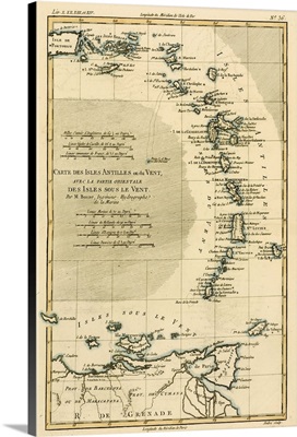
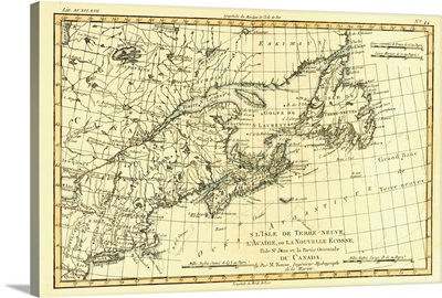
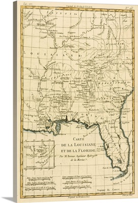
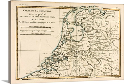
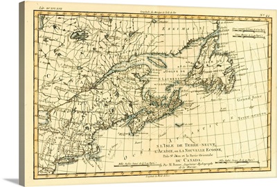
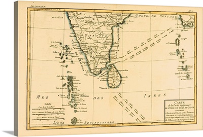
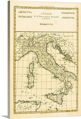
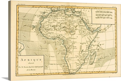
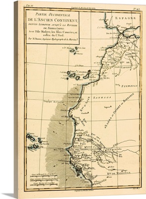
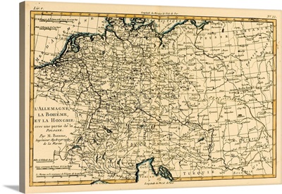
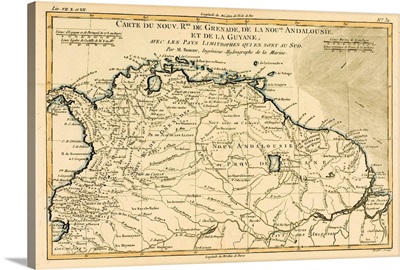
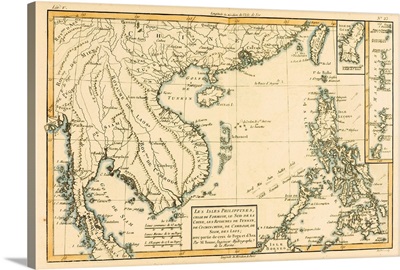
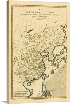
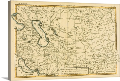
Charles Marie Rigobert Bonne
READ MORE LESS