Colonization

38 results
Recommended
38 results

Recently Viewed


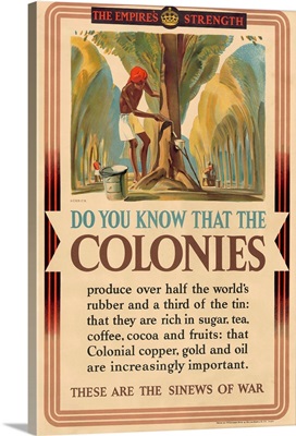
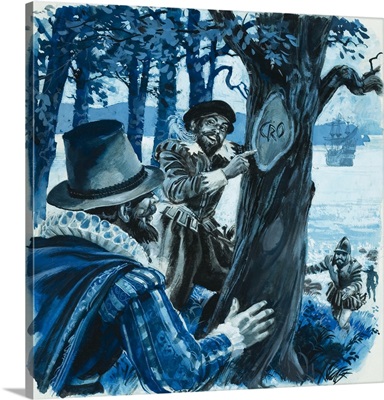
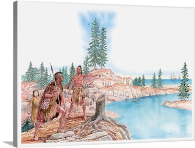
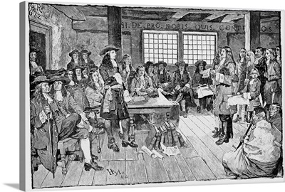
About Colonization
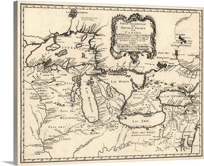
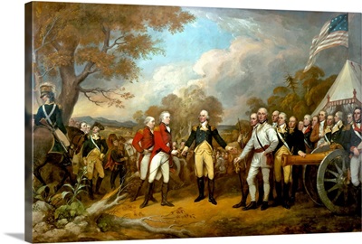
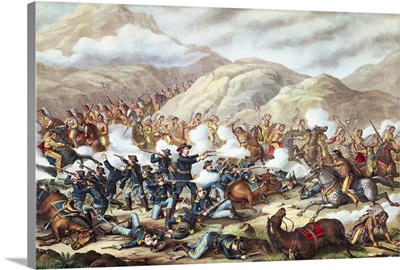
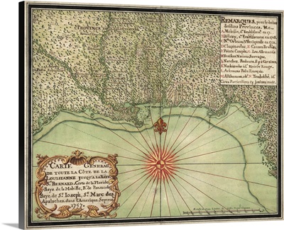
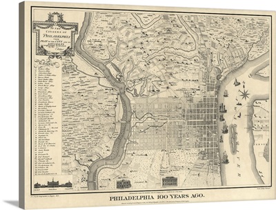
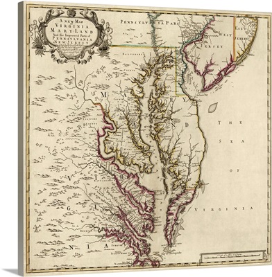
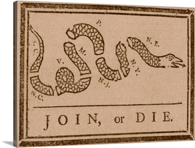
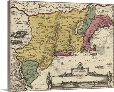
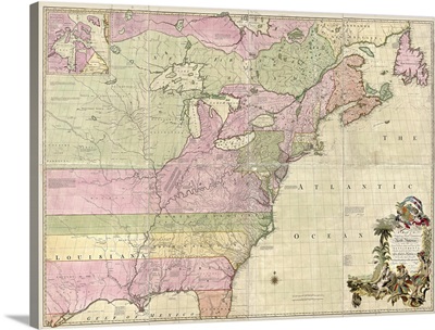
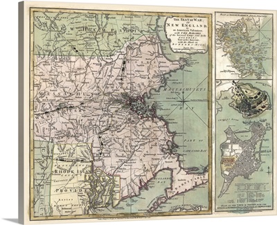
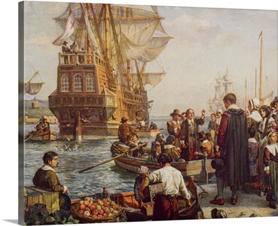
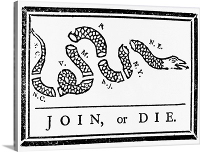
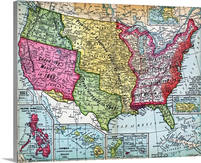
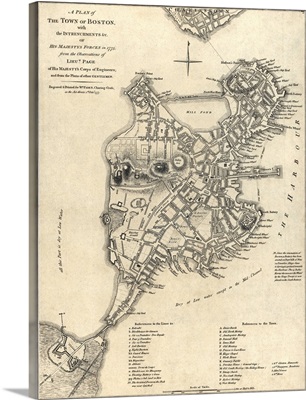
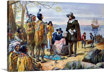
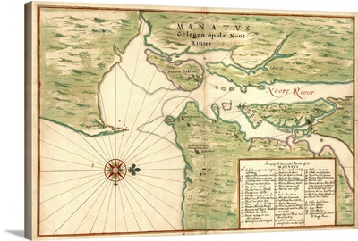
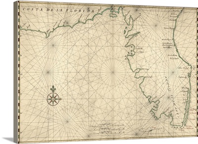
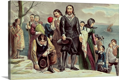
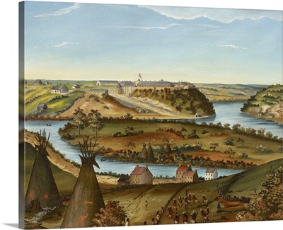
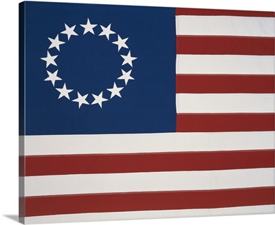
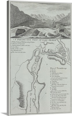
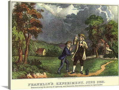
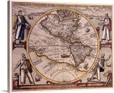
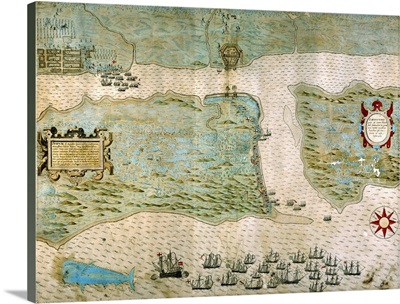
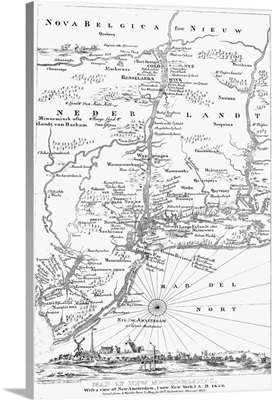
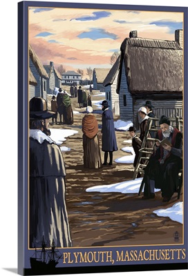
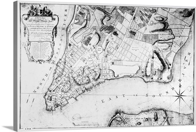
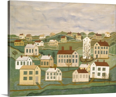
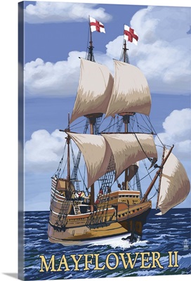
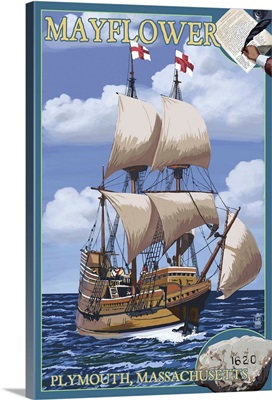
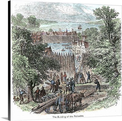
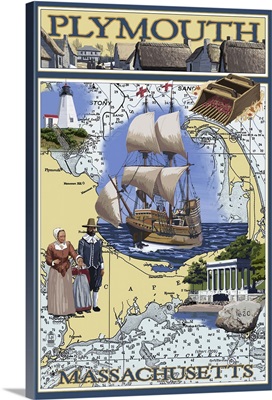
Showing many of the events of the colonization of the US which took place over 200 years, this collection contains political cartoons, paintings, and maps.
Showing many of the events of the colonization of the US which took place over 200 years, this collection contains political cartoons, paintings, and maps.