Results for “england-map”
-
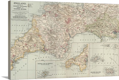
England and Channel Islands - Vintage Map
-
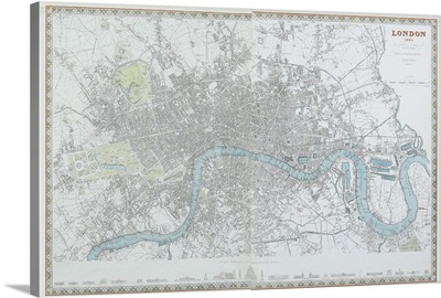
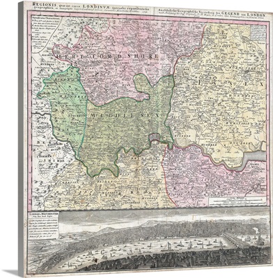
Map of London, England
-
Map of London, England
-
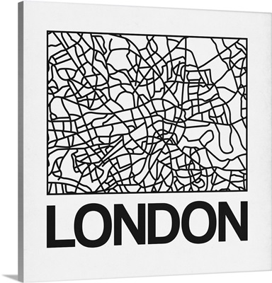
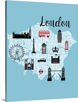
London Map Art
-
England and Wales, Northern Part - Vintage Map
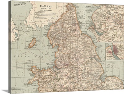
-
England and Wales, Southern Part - Vintage Map
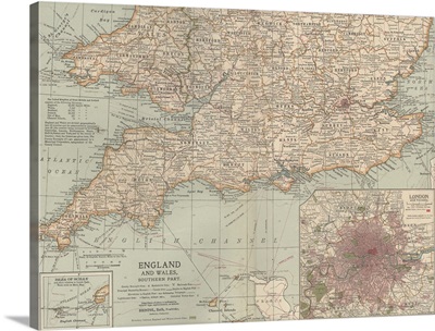
-
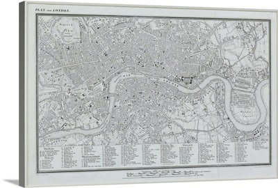
London Text Map
-
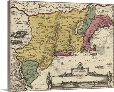
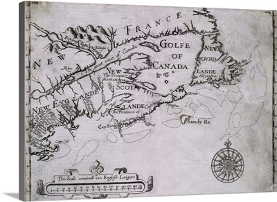
Antique Map of the Mid Atlantic and New England, 1685
-
London Map Art Watercolor
-
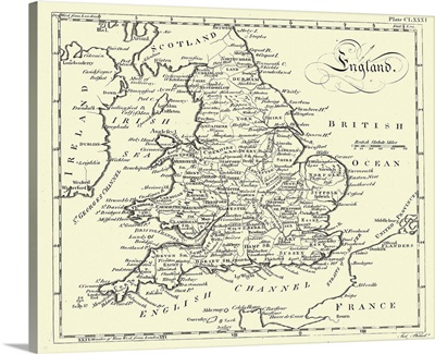
Map of England
-
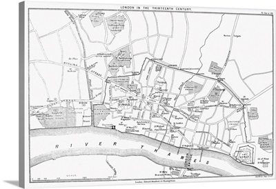
Map, London, 13th Century
-
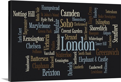
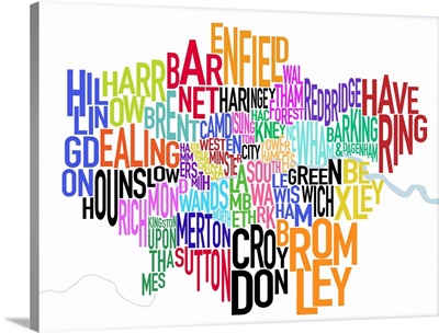
London Boroughs
-
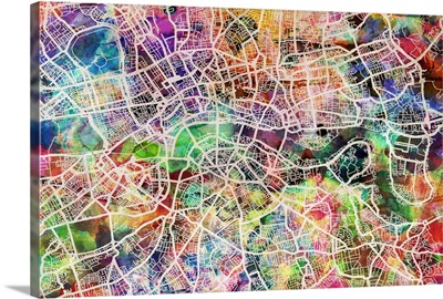
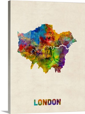
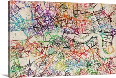
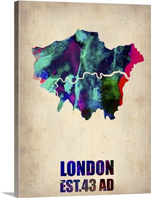
London Watercolor Map
-
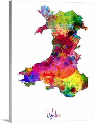
Wales Watercolor Map
-
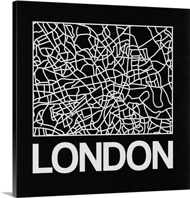
Black Map of London
-
White Map of London
-
London Street Map Black
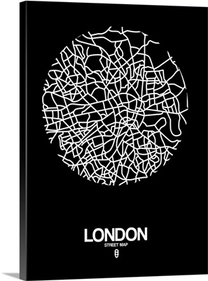
-
London Street Map Black on White
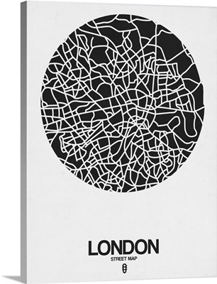
-
Color art map of London with no street names
-
City Graphic Map - London
-
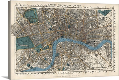
Smith's Vintage Map of London
-
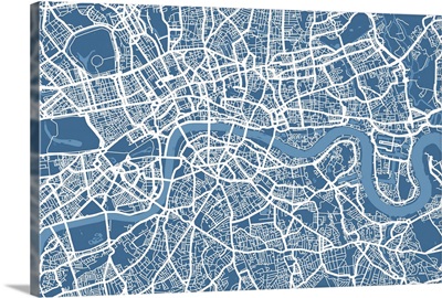
London Map Art Steel Blue
-
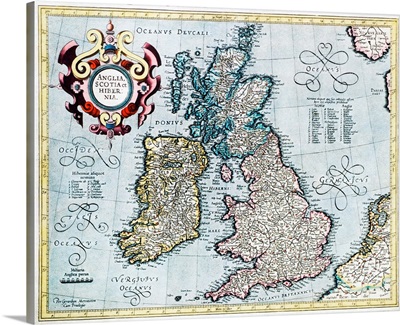
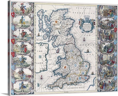
16th century map of the British Isles
-
London Watercolor Map
-
Liverpool - Vintage Map
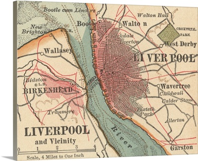
-
Gilded London Map
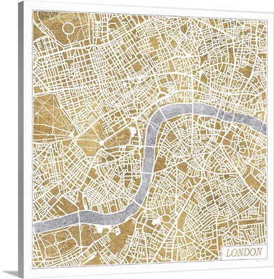
-
Map Of The British Isles, Circa 1760
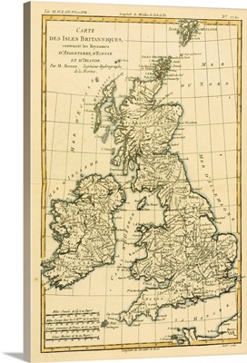
-
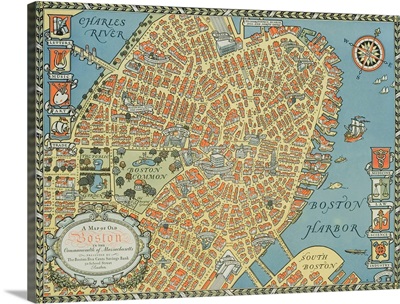
Souvenir Map Of Boston
-
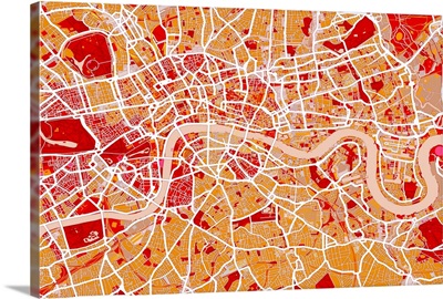
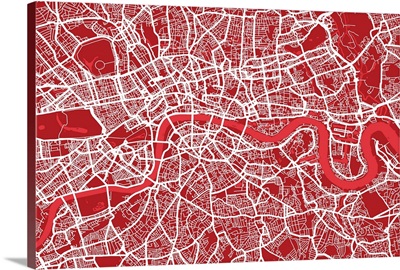
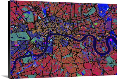
London Map Art Red
-
Map of British Isles
-
18Th Century Map Of London And Its Environs
-
Colored map of London
-
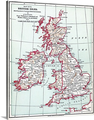
Map, British Isles, c1890
-
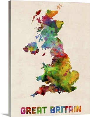
Great Britain Watercolor Map
-
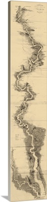
Panoramic Map of the Thames
-
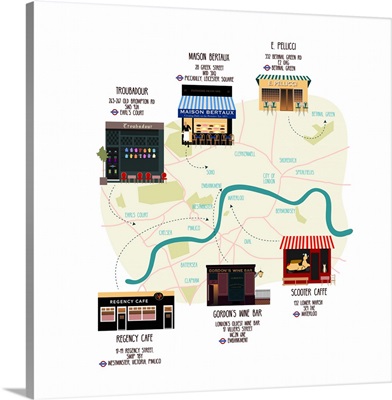
Map Of Unique London Eateries And Bars
-
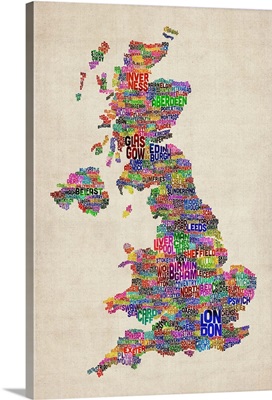
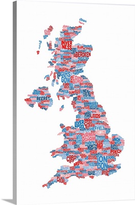
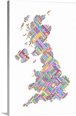
Great Britain UK City Text Map, Colorful
-
Great Britain UK City Text Map, Colorful
-
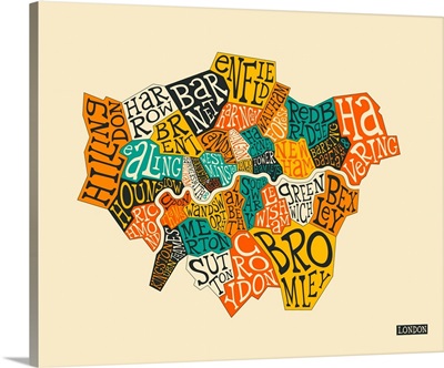
Colored text map of London showing borough names
-
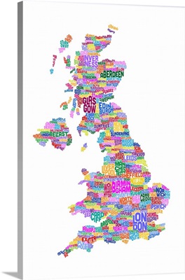
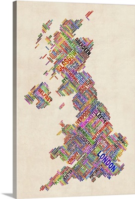
Great Britain UK City Text Map, White Background
-
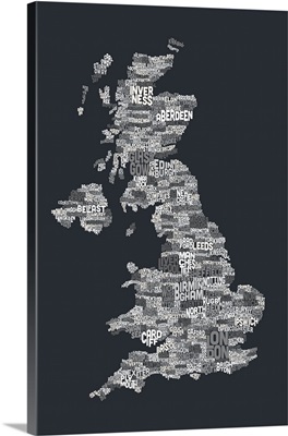
Great Britain UK City Text Map, Grayscale
-
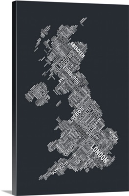
Great Britain UK City Text Map, Diagonal Text, Grayscale
-
Early 17th-Century Map Of The North American Coast From Cape Cod To Newfoundland
-
Great Britain UK City Text Map, Diagonal Text, White Background
-
Great Britain UK City Text Map, Diagonal Text, Colorful
-
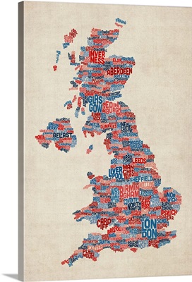
Great Britain UK City Text Map, Blue and Red
-
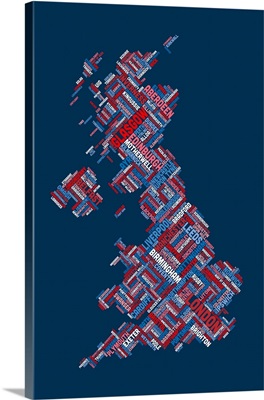
Great Britain UK City Text Map, Diagonal Text, Red White and Blue
-
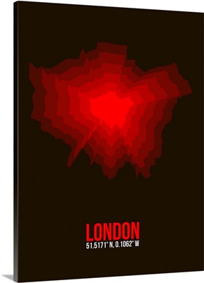
London Radiant Map II