-
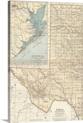
Texas, Western Part - Vintage Map
-
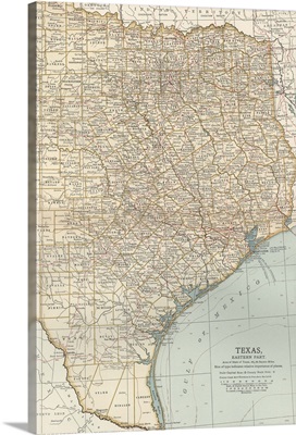
Texas, Eastern Part - Vintage Map
-
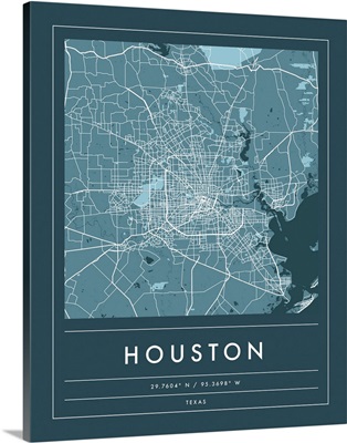
Navy Minimal City Map Of Houston
-
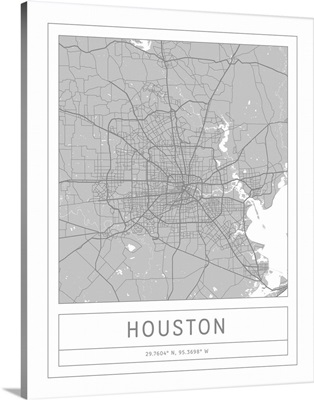
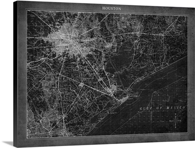
Gray Minimal City Map Of Houston
-
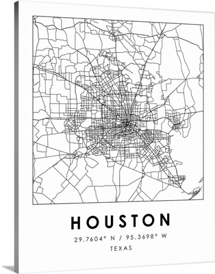
Black and White Minimal City Map Of Houston
-
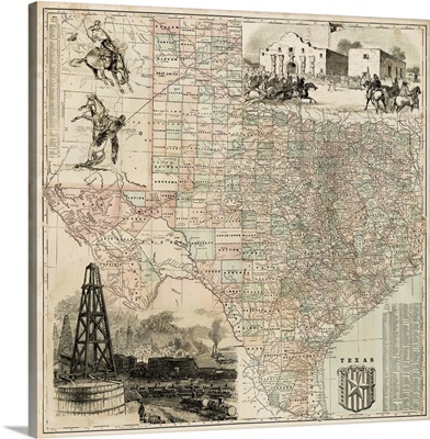
Map of Texas
-
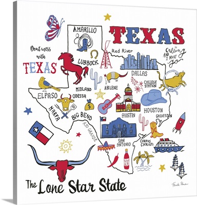
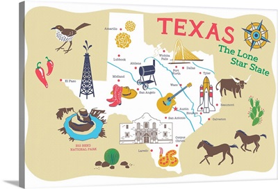
Texas Story

-
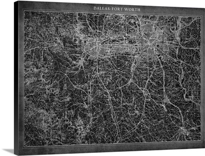
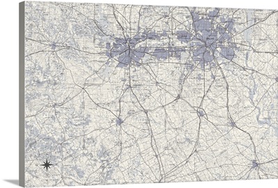
Dallas Aerial Street Map

-
Austin Aerial Street Map

-
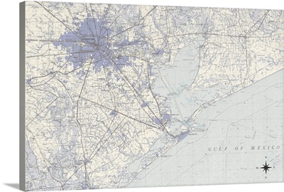
Houston Aerial Street Map

-
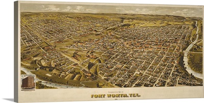
Fort Worth, TX 1891
-
Texas, Home II

-
Texas, Home I

-
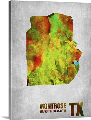
Montrose Texas
-
Upper Kirby Texas

-
Houston Pop Art Map III

-
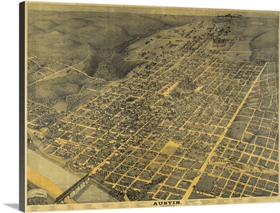
Austin, TX
-
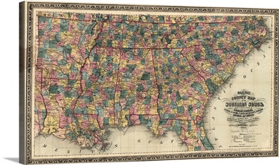
Map, Railroad, 1864
-
Houston Map A
-
Dallas Map A
-
Texas - State Abstract Watercolor

-
Austin Radiant Map I

-
Austin Pop Art Map I

-
San Antonio, Texas - Line Drawing

-
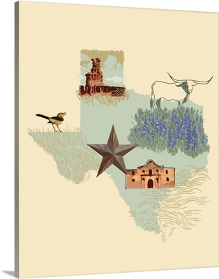
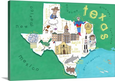
Illustrated State - Texas
-
Dallas Map B
-
Houston Map B
-
Texas
-
Texas
-
Austin Watercolor Map

-
San Antonio Watercolor Map

-
Houston Watercolor Map

-
Lubbock Texas Skyline

-
Austin Texas Skyline

-
Texas

-
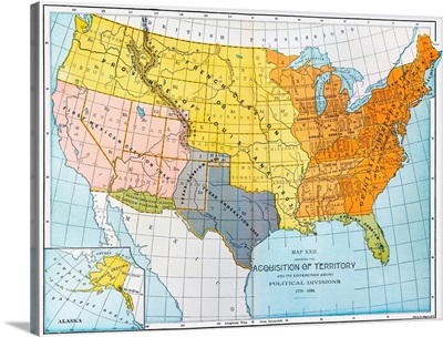
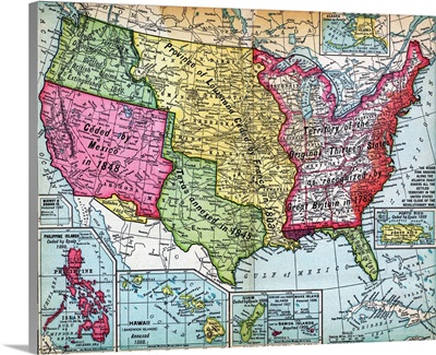
A Map Showing United States' Territorial Acquisitions Between 1776 And 1884
-
Austin, Texas - Line Drawing

-
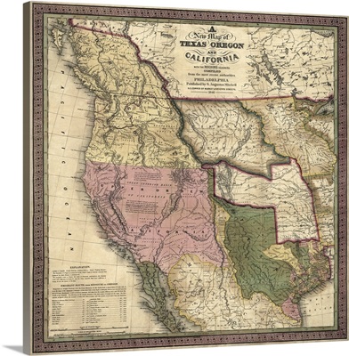
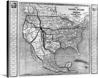
Antique Map of the Western US, 1846
-
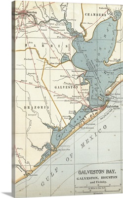
Galveston Bay - Vintage Map
-
Texas sign at border

-
Satellite view of Houston, Texas

-
America And Mexico, 1846
-
InstaStates III - Texas

-
Texas
-
Texas Proud

-
Eyes Of Texas

-
Map Of United States Expansion
-
Texas