Results for “england-map”
-
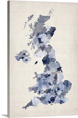
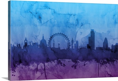
Map of United Kingdom in watercolor, blue
-
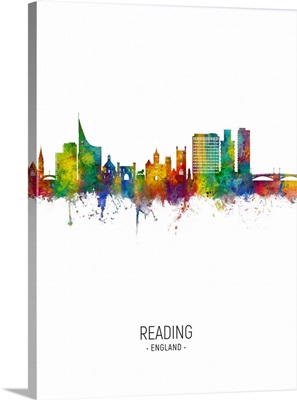
Reading England Skyline
-
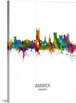
Warwick England Skyline
-
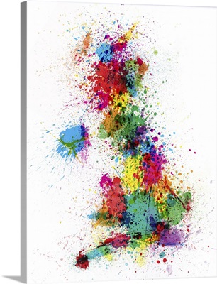
Map of United Kingdom in paint splatters
-
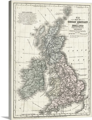
Mitchell's Map of Great Britain and Ireland
-
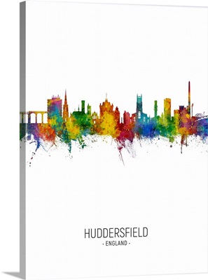
Huddersfield England Skyline
-
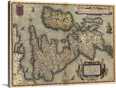
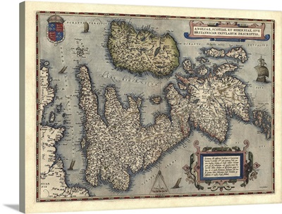
16th century map of the British Isles
-
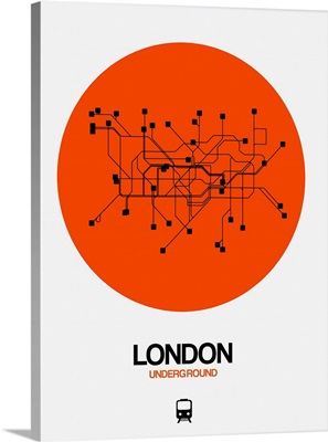
London Orange Subway Map
-
London White Subway Map

-
London Black Subway Map

-
London Yellow Subway Map

-
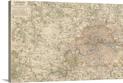
London and Vicinity - Vintage Map
-
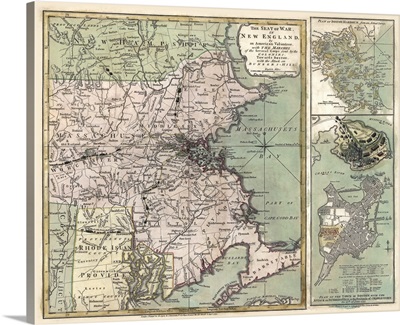
Antique Map of Massachusetts, 1775
-
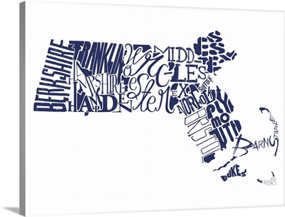
Massachusetts Typography map
-
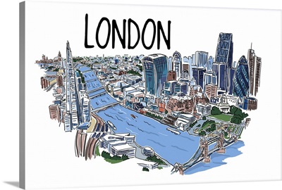
London, England - Line Drawing
-
Textured World Map

-
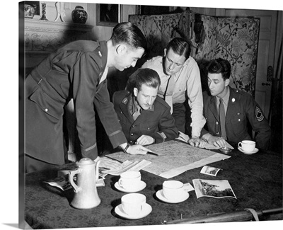
Jedburghs get instructions from briefing officer in London flat, England
-
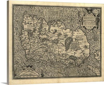
Ortelius's map of Ireland, 1598
-
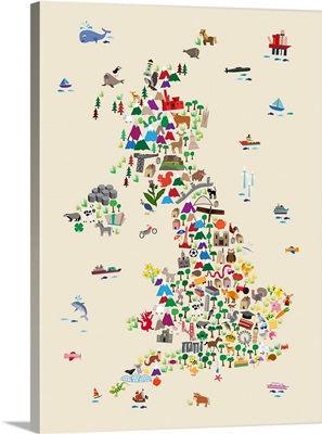
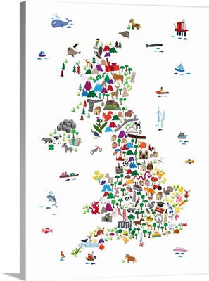
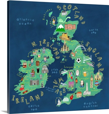
Animal Map of Great Britain
-
Animal Map of Great Britain
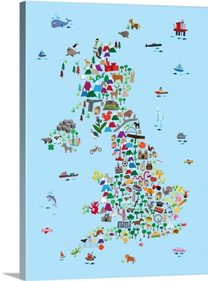
-
Animal Map of Great Britain
-
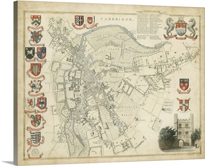
Map of Cambridge
-
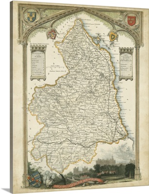
Map of Northumberland
-
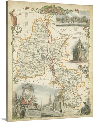
Map of Oxfordshire
-
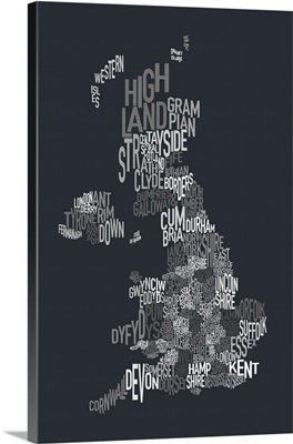
UK Map make up of County names - grayscale
-
London England Skyline
-
London England Skyline
-
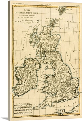
The British Isles, Including the Kingdoms of England, Scotland and Ireland
-
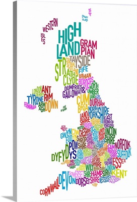
UK Map make up of County names - rainbow colors
-
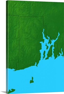
Topographic map of Rhode Island
-
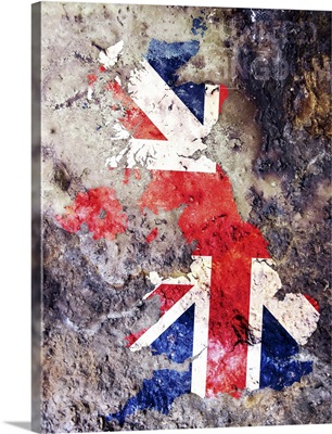
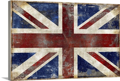
UK Flag Map
-
Antique Map of Great Britain and Ireland, 1570
-
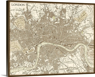
Sepia Map of London
-
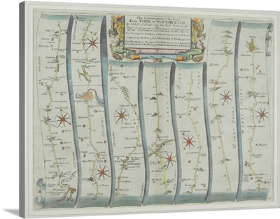
Antique road map from York to Westchester
-
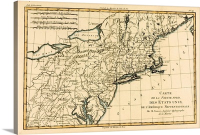
North-East Coast of America
-
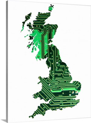
Circuit Board Britain, Conceptual Illustration
-
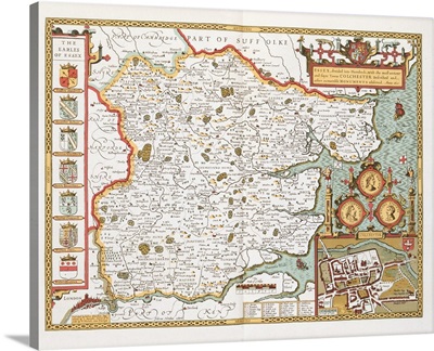
Essex
-
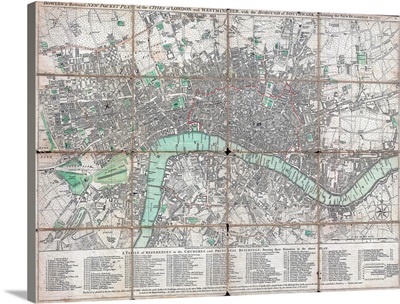
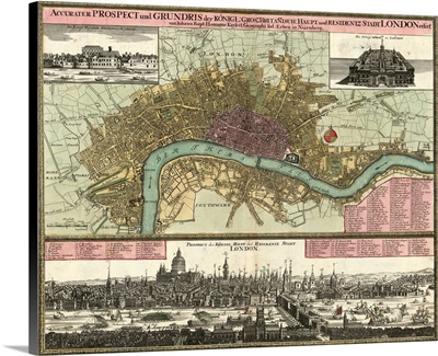
1795 Folding Pocket Map Or Street Plan Of London
-
England
-
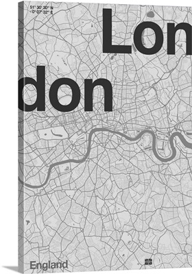
London Minimal Map, 2020
-
London District
-
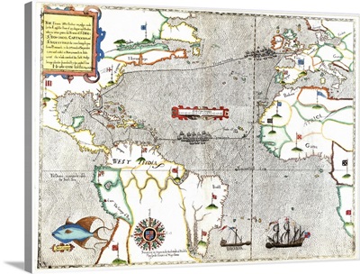
Sir Francis Drake's voyage 1585-1586
-
UK & Ireland
-
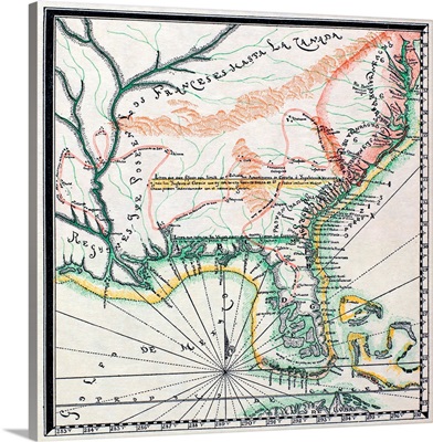
Possession Of the Spanish And the English In North America, 1742
-
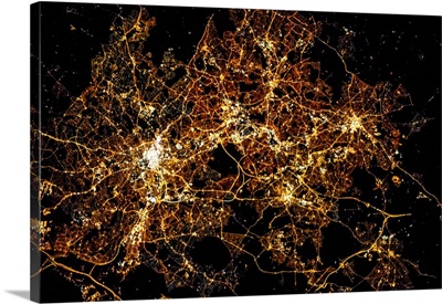
Night time satellite image of a city in England, United Kingdom
-
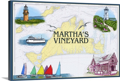
Martha's Vineyard, Nautical Chart
-
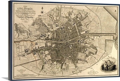
Map of the City of Dublin, 1797
-
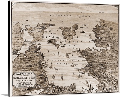
Narragansett Bay, c1880