Results for “caribbean-maps”
-
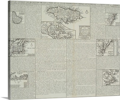
Caribbean, Map, 1775
-
Vintage map of Caribbean islands
-
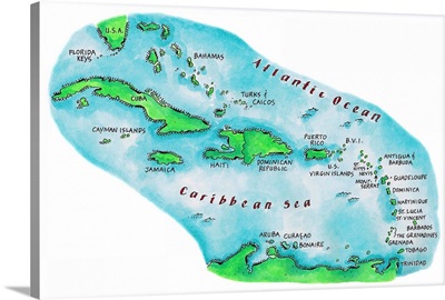
Map of Caribbean Islands
-
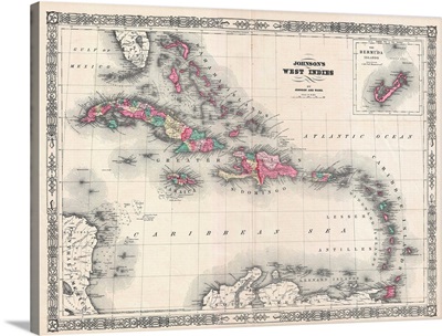
Map Of The West Indies And Caribbean By A.J. Johnson
-
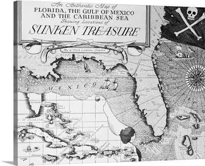
Map Of Florida And Caribbean
-
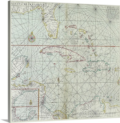
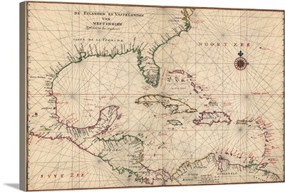
Antique Map of the Caribbean, ca. 1639
-
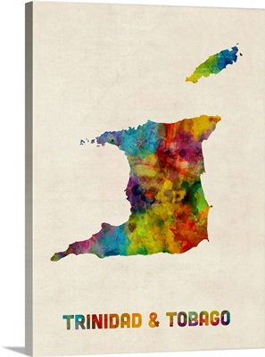
Trinidad and Tobago Watercolor Map
-
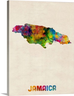
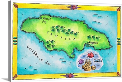
Jamaica Watercolor Map
-
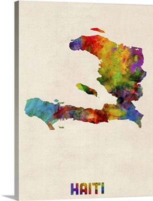
Haiti Watercolor Map
-
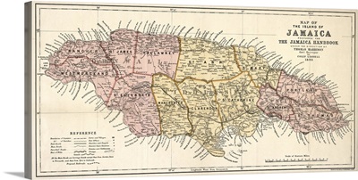
Map, Jamaica, 1893
-
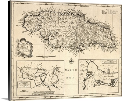
Map, Jamaica, 1752
-
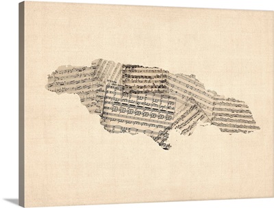
Old Sheet Music Map of Jamaica
-
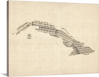
Old Sheet Music Map of Cuba
-
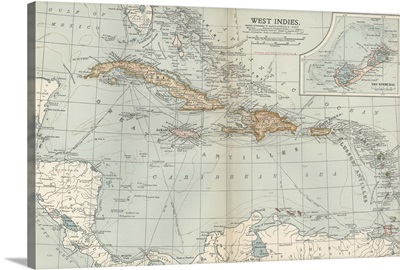
West Indies Map, c1890
-
Map Of The West Indies And The Mexican Gulf, Circa 1760
-
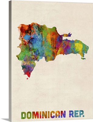
Dominican Republic Watercolor Map
-
Maps of Jamaica in book Atlas Historique
-
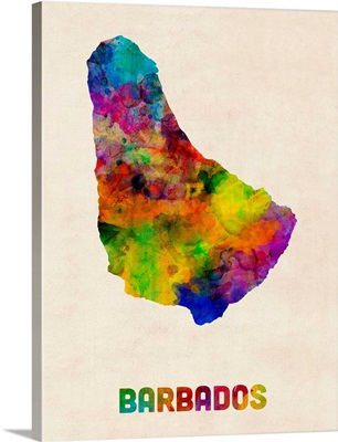
Barbados Watercolor Map
-
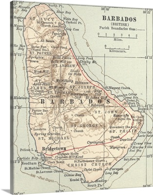
Barbados - Vintage Map
-
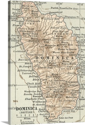
Dominica - Vintage Map
-
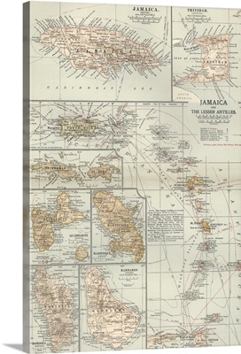
Jamaica and the Lesser Antilles - Vintage Map
-
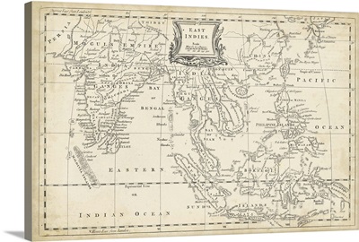
Map of East Indies
-
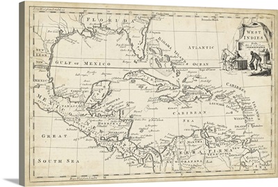
Map of West Indies
-
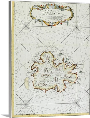
Map of Antigua
-
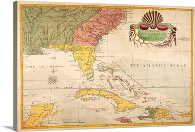
Map of Carolina, Florida & the Bahama Islands
-
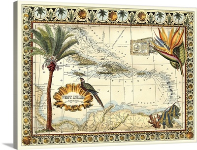
Tropical Map of West Indies
-
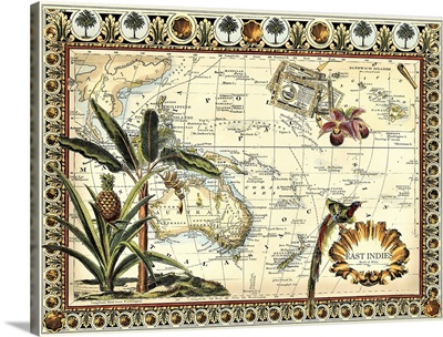
Tropical Map of East Indies
-
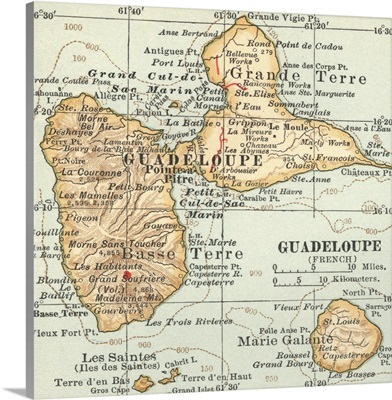
Guadaloupe - Vintage Map
-
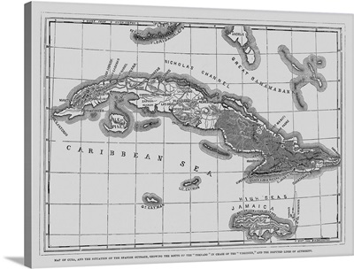
Map of Cuba, 1873
-
West Indies - Vintage Map
-
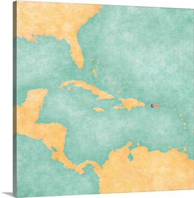
Puerto Rico - Carribbean
-
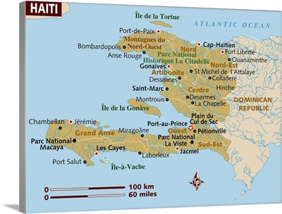
Map of Haiti.
-
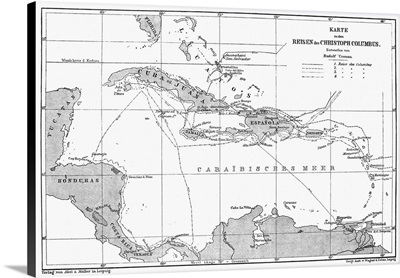
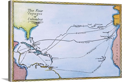
Columbus, Map, 15th Century
-
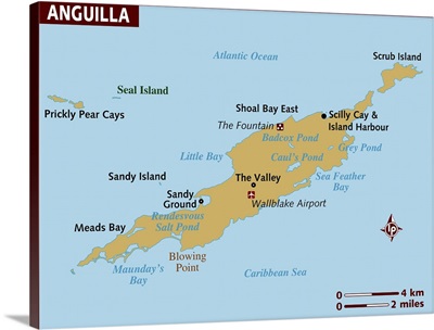
Map of Anguilla
-
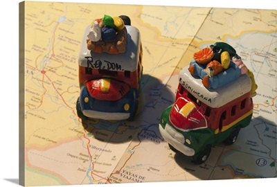
Dominican Republic, Punta Cana Region, Bavaro, toy busses on Dominican map
-
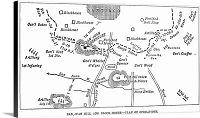
Cuba, San Juan Hill
-
Map of Jamaica
-
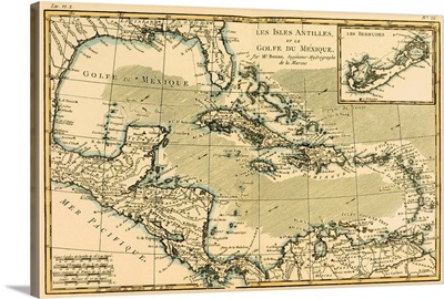
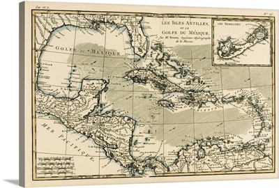
The Antilles and the Gulf of Mexico
-
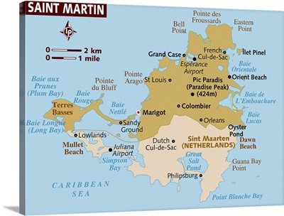
Map of St Martin
-
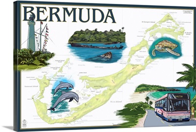
Bermuda - Nautical Chart: Retro Travel Poster
-
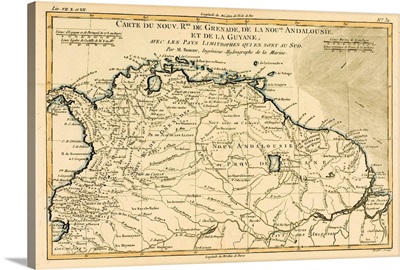
The New Kingdoms of Grenada, New Andalucia and Guyana
-
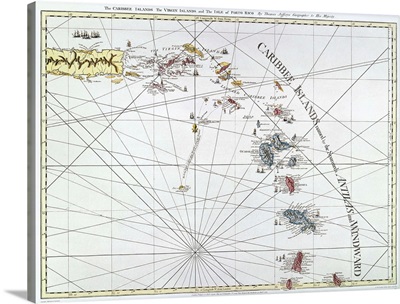
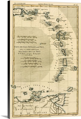
The Lesser Antilles or the Windward Islands, with the Eastern part of the Leeward Island
-
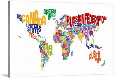
Text Map of the World
-
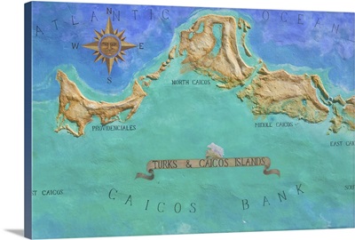
Mural Map of Turks and Caicos Islands
-
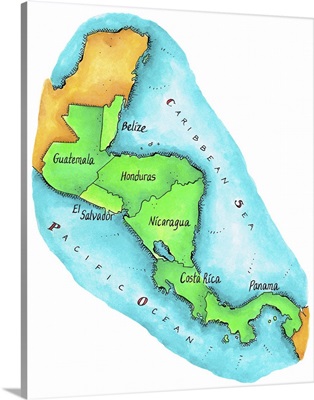
Map of Central America
-
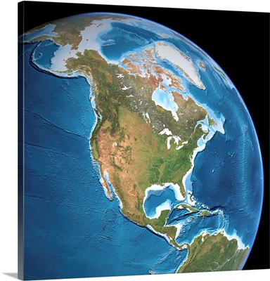
North America, Topographic Map
-
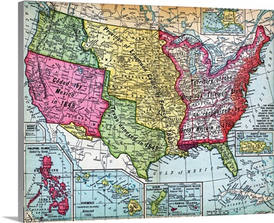
Map Of United States Expansion
-
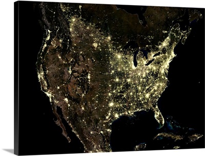
USA At Night, Satellite Image