Global temperatures, April 2003 Wall Art
20″ × 10″ Stretched Canvas Print
About the Artwork
Global temperatures, April 2003 - Item # 1145318
Global temperatures, April 2003. Infrared satellite map of worldwide surface and cloud temperatures in April 2003. The colour-coded map shows temperatures in degrees Celsius, ranging from 40 degrees Celsius (dark red) down to minus 40 degrees Celsius (purple). Features seen here include the deserts of North Africa, warm tropical waters, cold equatorial clouds (yellow band), cloudy temperate regions, and cold polar regions. The data was obtained by the AIRS (Atmospheric Infrared Sounder) instrument as part of the EOS (Earth Observing System) mission, on NASA's Aqua satellite.
About the Artist
NASA Images
Imagination is our window into the future. NASA strives to be bold in advancing the edge of possibility so that someday, with the help of new generations of innovators and explorers, these visions of the future can become a reality. As you look through these images of imaginative travel destinations, remember that you can be an architect of the future.
Product Specifications
- Expertly Handcrafted
- 1.25" Solid Wood Stretcher Bars
- Artist-Grade Canvas
- Fade-Resistant Archival Inks
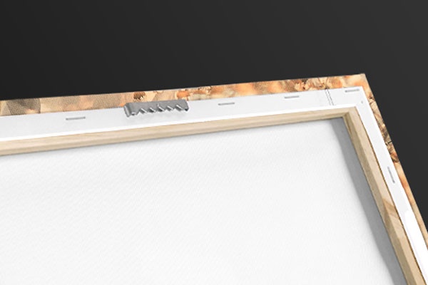
- Hanging Hardware Pre-Installed
- Width: 20″
- Height: 10″
Item # 1145318
Product Features
Elevate any room with our handcrafted stretched canvas gallery wraps. Printed with archival inks and wrapped around a 1.25” inch solid wood stretcher bar, our giclée big canvas art prints are a timeless option for any decor style or space.

Our giclée canvas art prints are produced with high quality, UV-resistant, environmentally-friendly, latex inks and artist grade, polycotton canvas. We pride ourselves on color accuracy and image clarity to ensure your new canvas wall art lasts for years to come.

Assembled in the USA, each of our 1.25” inch gallery wrapped canvas art prints is stretched and stapled by our highly skilled craftspeople. Each canvas print is carefully handcrafted to ensure taut canvas wraps and clean corners for outstanding quality and durability.

Our handcrafted stretched canvas prints include sawtooth hangers for an easy and secure installation.
Product Reviews
Frequent Questions
Recently Viewed
Clear Recently Viewed?
Are you sure you would like to clear your recently viewed items?
Pricing policy: The full list price is a price at which we have offered the product for sale; however, we may not have sold the item at that price.

